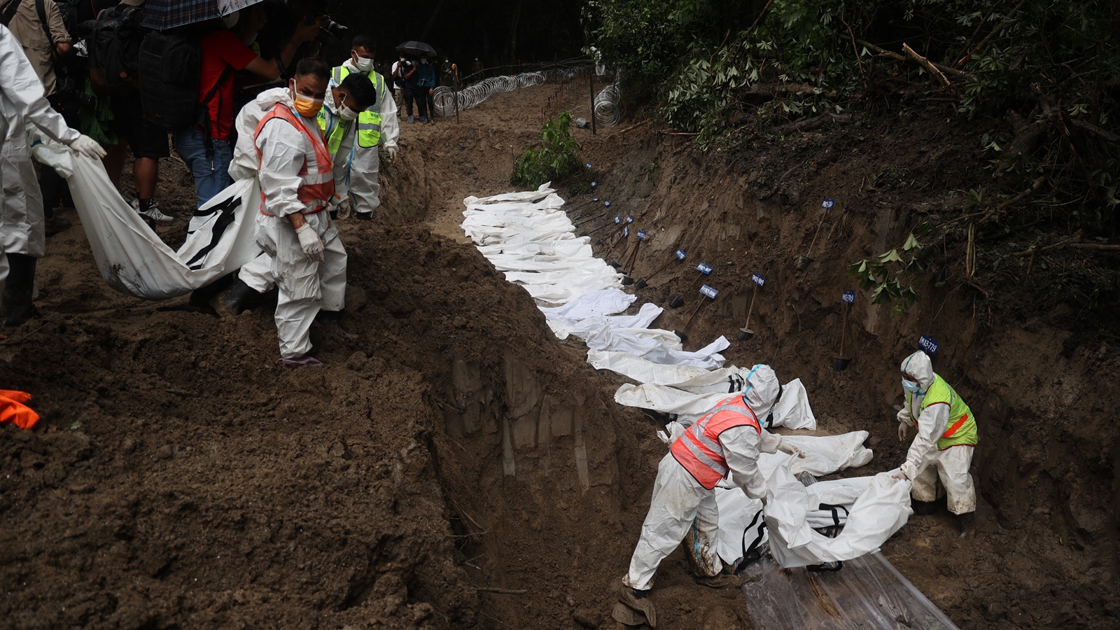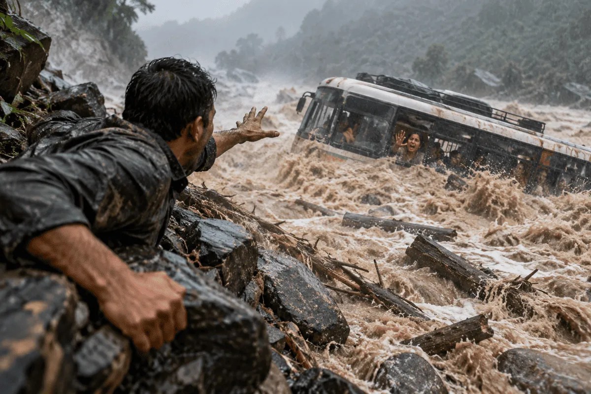
Disaster response systems across high-altitude river basins consistently fail because standard risk assessments rely on static hydrological baselines rather than dynamic cryospheric collapse models. When a flash flood cascades down a valley—such as the catastrophic surge triggered by the recent glacial and rock avalanche along the Bhote Koshi and Trishuli river corridors—traditional early warning indicators are rendered obsolete within seconds. Understanding the mechanics of these high-velocity alpine floods requires an operational breakdown of energy conversion, physical infrastructure fragility, and evacuation window compression.
The Three Components of Alpine Hydrodynamic Force
The destructive power of a glacial outburst flood is a function of mass, velocity, and entrained sediment density. Unlike standard monsoon river risers, which accumulate volume progressively through rainfall over days, a cryospheric collapse introduces millions of cubic meters of water, ice, and debris into a steep gradient channel instantaneously.
- Gravitational Potential Energy Conversion: The drop in elevation from high-altitude Tibetan border points down to Nepalese river valleys translates stored potential energy into kinetic energy at an exponential rate. Water velocity does not merely increase linearly; turbulent flow dynamics amplify shear stress on riverbeds, scouring banks and widening the channel by tens of meters in minutes.
- Debris Density and Viscosity: The fluid is rarely pure water. As the surge travels, it entrains boulders, soil, infrastructure, and forestry, turning the front wave into a high-density debris flow. This hyper-concentrated mass increases the bulk density of the fluid, compounding its impact pressure against structural foundations.
- Acoustic and Seismic Signatures: Ground-based sensors frequently misread initial indicators because the seismic profile of a glacial lake outburst or avalanche mimics a moderate-magnitude tectonic earthquake. Emergency protocols calibrated for seismic events rather than hydrological mass movements delay tactical alerts to downstream settlements.
Infrastructure Fragility and the Compression of Evacuation Windows
Human survival in a flash flood zone depends entirely on the ratio between the lead time provided by warning systems and the physical time required to reach altitudinal safety. In narrow Himalayan gorges, this window is frequently compressed to under sixty seconds.
Traditional structural countermeasures, including retaining walls, check dams, and bridge reinforcement, are engineered for standard 100-year flood discharge volumes. They are structurally incapable of withstanding dynamic impact loads generated by boulders weighing hundreds of tons traveling at terminal river velocities. When these engineering defenses fail, they do so catastrophically, creating secondary artificial blockages that temporarily impound water before releasing destructive secondary waves.
This structural vulnerability extends to linear infrastructure such as hydropower tunneling networks and trans-border trade routes. Workers stationed within subterranean or riverside project sites face compounding risks:
- Acoustic Isolation: Sub-surface environments prevent workers from hearing environmental precursors, such as the initial atmospheric roar of an upstream collapse.
- Bottlenecked Egress: Access tunnels double as drainage chutes when overtopped, trapping evacuees in unidirectional channels where water velocity peaks.
- Geographic Isolation: Mountainous terrain restricts logistical access, turning localized inundations into protracted search-and-rescue operations that depend entirely on heavy airlifting capacity.
Systemic Economic and Social Disruptions
The macro-level impact of high-altitude flash floods extends far beyond immediate mortality statistics. River valleys serve as primary trade arteries, tourism corridors, and pilgrimage routes. The simultaneous destruction of border customs points, suspension bridges, and national highway segments severs international supply chains between landlocked regions and regional markets.
For local communities, physical displacement triggers an acute loss of socio-cultural continuity. Settlements structured around generational land ties, seasonal agricultural cycles, and alpine trekking economies cannot easily relocate. The conversion of arable river flats into sterile fields of deep silt creates an economic vacuum where immediate subsistence farming becomes impossible.
Furthermore, trans-border disaster response coordination faces institutional friction. Hydrological data sharing across sovereign boundaries often suffers from procedural latency. By the automated telemetry data crosses administrative desks, the physical wave has already traversed the international border zone. Real-time satellite observation and localized acoustic sensor arrays on upper glacial lakes represent the only viable telemetry layer capable of extending warning windows from seconds to actionable minutes.
Deploy automated, satellite-linked pressure sensors and down-looking radar stations directly above high-risk glacial lakes to feed automated siren circuits, bypassing manual bureaucratic verification loops entirely.