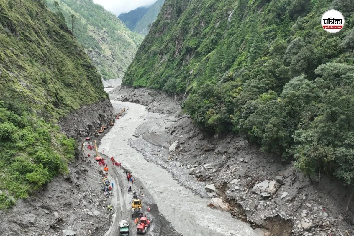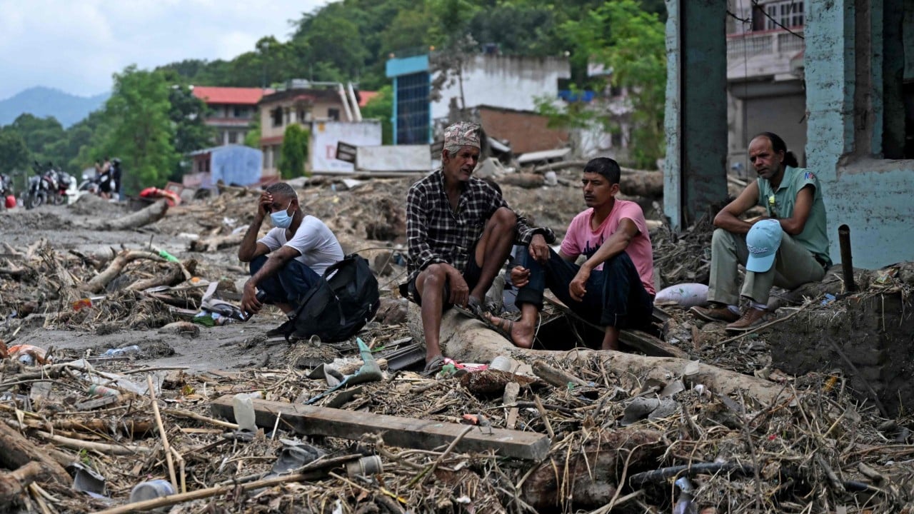
The debris does not care about national sovereignty. When glacial lakes burst across the roof of the world, torrents of mud, boulders, and melted ice scour narrow Himalayan valleys before slamming into downstream infrastructure in Nepal, India, and Bangladesh. These disasters are often framed by breathless wire services as sudden acts of nature. They are not. They are predictable engineering failures compounded by diplomatic inertia. The physical reality of climate change in high Asia involves a brutal math of altitude, warming temperatures, and fragile terrain that governments on both sides of the border refuse to manage with the urgency required.
The Geography of the Trap
High-altitude lake expansion is accelerating at an alarming rate across the Hindu Kush Himalaya region. As mean temperatures rise faster than the global average at high elevations, glaciers retreat, leaving behind unstable moraine dams. These natural walls of rock and sediment hold back billions of gallons of glacial meltwater.
When a structural breach occurs, the resulting Glacial Lake Outburst Flood creates a wave that moves at speeds defying evacuation protocols.
Downstream communities in Nepal live beneath ticking clocks. Villages like Melamchi and towns flanking the Arun River sit on alluvial fans formed by centuries of past sediment transport. Every monsoon season brings a heavier load. The volume of water is greater, the sediment concentration is thicker, and the traditional coping mechanisms of rural populations are completely overwhelmed.
Governments respond with temporary gabion walls and reactive relief funds. These measures are the bureaucratic equivalent of placing a postage stamp over a severed artery.
The Information Black Hole
You cannot prepare for a disaster you cannot see. One of the most glaring vulnerabilities in the transboundary river basins of South Asia is the absolute deficit of real-time hydro-meteorological data sharing.
Water does not respect borders, but hydrological data certainly does.
China sits upstream on the Tibetan Plateau, where the headwaters of the Brahmaputra, Salween, Mekong, and trans-Himalayan tributaries originate. Precipitation patterns, snowpack melt rates, and seismic shifts occurring high on the plateau dictate whether villages downstream in Nepal and India will be washed away tonight or next week. Yet, institutional transparency between Beijing and downstream riparian states remains fragmented, politicized, and entirely inadequate.
Bilateral agreements exist on paper, but data exchange protocols often stall during geopolitical friction. When diplomatic channels freeze, hydrological telemetry stations go dark or remain unshared.
Downstream forecasters are left operating blind. They try to model flash floods using outdated rainfall projections while millions of tons of water gather unseen thousands of feet above them. This information asymmetry is not just a technical oversight. It is a structural hazard that turns natural hazards into avoidable mass casualties.
Engineering Against the Mountain
Attempting to control Himalayan river systems requires a level of engineering humility that modern states rarely possess. Massive hydropower dams are currently being rammed through narrow gorges across Nepal and northern India. Proponents argue these projects provide clean energy and economic development. Critics point out that these concrete monoliths act as sediment traps, accelerating riverbed aggradation and increasing flood risks during extreme weather events.
Consider the physical dynamics of a sediment-heavy flash flood hitting a narrow reservoir.
When a debris flow enters a newly constructed reservoir, it drops its heavy load instantly. The storage capacity of the dam diminishes rapidly. Operators are forced to open spillways abruptly to prevent structural failure of the dam itself, sending an artificial wall of water directly into the downstream settlements that trusted the dam to protect them.
The infrastructure meant to tame the river becomes the very weapon that amplifies the catastrophe.
Environmental impact assessments in the region frequently treat seismic risk and glacial retreat as static variables rather than volatile, compounding threats. Engineers design spillways based on historical flood data from the past fifty years. Those historical records are entirely obsolete. The mountain ranges are destabilizing faster than concrete can cure.
The Diplomatic Stalemate
Fixing this crisis demands a complete overhaul of how regional neighbors negotiate shared water security. Traditional diplomacy treats rivers as sovereign property lines or commodities to be divided by treaty volume.
That framework is functionally dead.
Transboundary river management must pivot toward integrated basin-wide governance, where data is shared unconditionally and early warning systems are treated as public global goods rather than strategic military assets.
Nepal bears the brunt of the immediate ecological violence, yet it possesses zero upstream leverage. China controls the high ground. India controls massive diversion structures near the border. Caught in the middle, local populations absorb the physical and economic shocks of a warming planet driven primarily by global emissions they had no hand in producing.
Until regional capitals decouple water security from broader geopolitical disputes, the valleys of the Himalayas will remain lethal terrain. The next glacial lake outburst is already forming beneath a thawing ridge, and the gauge stations are silent.