Every autumn, millions of people head up Hong Kong's steep hillsides during the Chung Yeung Festival to tend ancestral graves. Tradition runs deep. Unfortunately, so do the hazards. Incense burning, paper offerings, and stray cigarette butts routinely turn dry brush into raging wildfires across the New Territories. For decades, emergency crews fought an uphill battle against dry weather, rugged terrain, and limited visibility. Traditional lookout posts and ground patrols simply couldn't cover every square kilometer of dense country park fast enough.
That dynamic is shifting. The Fire Services Department has changed how it handles seasonal wildfire spikes by integrating autonomous aerial technology and machine vision. Instead of waiting for frantic 999 calls from hikers, authorities now spot smoke plumes in their infancy. Here is a look at how aerial automation is reshaping emergency response during high-stress cultural holidays.
The Reality of Mountain Wildfires
Wildfires in densely populated urban-adjacent wilderness areas move terrifyingly fast. When wind sweeps down from the mountains, a small spark near a grave site can explode into a multi-hectare inferno within minutes. Ground crews face brutal conditions. Carrying heavy water packs up vertical slopes drains firefighter stamina long before they reach the fire line.
Time is the single variable that matters. If you catch a brush fire within the first five minutes, a single team with beaters and portable pumps can extinguish it. Wait twenty minutes, and you need helicopters dumping bucket loads of seawater. Traditional human eyes miss things. A small puff of smoke tucked behind a ridge goes unnoticed until it crests the hill.
How Machine Vision Changes the Equation
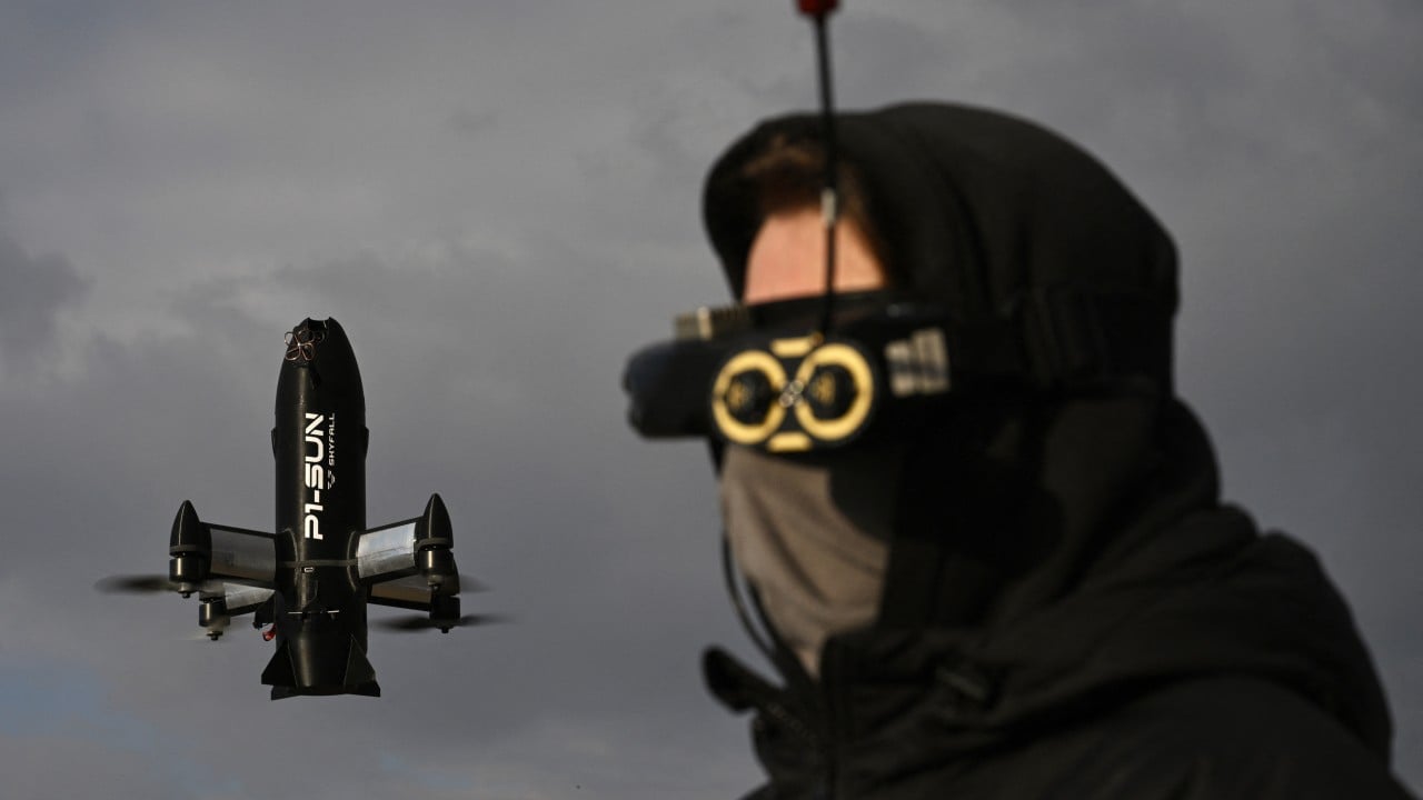
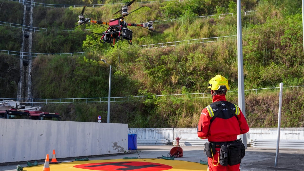
Enter intelligent aerial monitoring. Modern emergency squads deploy specialized multi-rotor aircraft equipped with thermal imaging and optical sensors programmed to detect smoke signatures. These aren't just standard cameras flying around manually. They run onboard algorithms trained to differentiate between harmless mountain mist, cooking smoke from a barbecue site, and the distinct chemical signature of an unauthorized brush fire.
When an anomaly triggers an alert, the system instantly transmits precise GPS coordinates back to command posts. Crews don't have to guess where the smoke is coming from. They get an exact pin on a digital map, complete with real-time video feeds showing wind direction and fire spread rate.
The Fire Services Department targets high-risk zones across regions like Yuen Long, Tuen Mun, and Sai Kung during peak festival periods. These twelve designated wildfire blackspots require intensive monitoring because of dense vegetation and heavy visitor traffic. Automated patrols operate quietly overhead, freeing up human officers to run ground checkpoints, hand out safety pamphlets, and discourage unsafe burning habits directly at grave sites.
Beyond Simple Detection
Spotting the fire is only half the battle. Getting water to remote ridgelines remains a logistical nightmare. While drones can't carry hundreds of gallons of water, they map out safe tactical routes for approaching firefighters. Thermal cameras cut right through thick smoke, helping commanders locate trapped hikers or stray family groups who might be panicking near the flames.
Communication bottlenecks used to plague major operations. Radios drop signals in deep valleys. High-flying relay units now act as airborne signal boosters, keeping ground teams connected with central command even when operating deep inside remote country parks.
What This Means for Public Safety
Technology works best when it changes human behavior. The visible presence of government aircraft patrolling festival hot spots sends a clear message. People notice. Fire safety compliance during Chung Yeung has improved because visitors know monitoring has gone digital. Authorities also use footage captured during these operations to run public awareness campaigns, showing raw proof of how fast careless incense handling destroys local ecosystems.
Wildfires take decades to heal. The green hillsides of Hong Kong are worth protecting from preventable disasters. By giving emergency responders eyes in the sky and smart algorithms to filter the noise, the city has turned a corner in seasonal disaster management. Stop relying purely on luck and ground-level vigilance. Smart infrastructure on our hillsides is keeping communities safe.
This video provides a detailed look at emergency drone footage and disaster response tactics used by authorities during high-stakes urban and structural fire incidents.