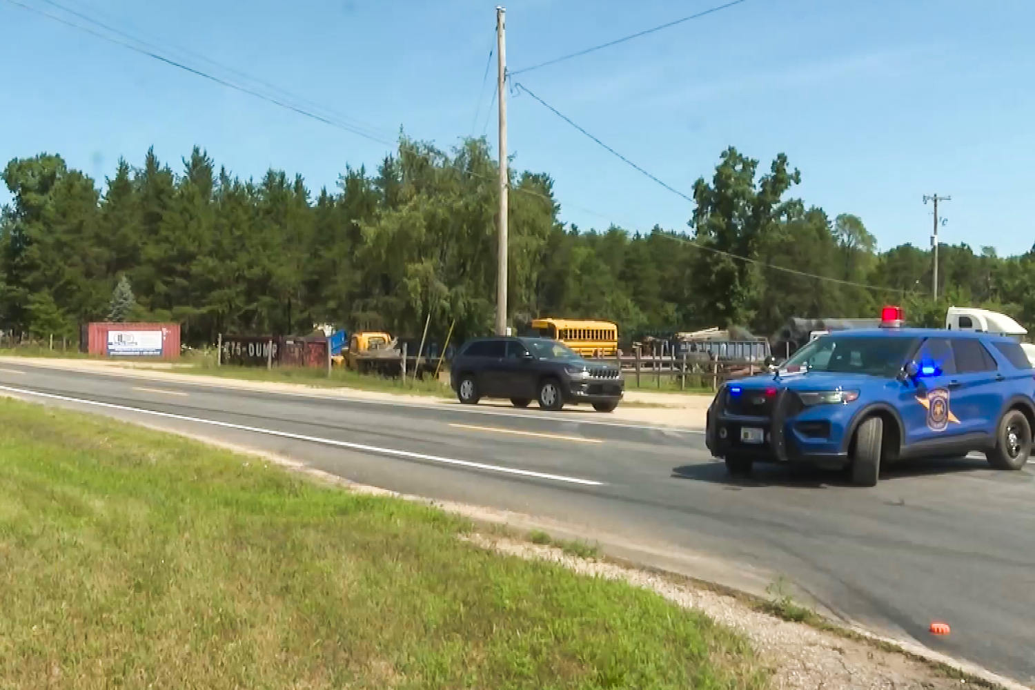
Acute multi-site violence events in low-density geographic sectors expose distinct structural vulnerabilities in emergency response architecture, investigative containment, and resource allocation. The multi-fatality shooting incident across Missaukee County, Michigan, resulting in six fatalities including the designated suspect Chad Hickman, presents an empirical case study in the friction points of rural public safety management. Standard journalistic reporting on such events relies heavily on descriptive chronology. This analysis shifts from narrative sequencing to structural decomposition, examining the variables that dictate response latency, spatial containment efficacy, and tactical resolution in non-urban jurisdictions.
The Spatial Variable and Response Latency
Geographic dispersion is the primary operational constraint in rural law enforcement frameworks. Unlike municipal environments where sector density allows for rapid physical convergence, low-density counties feature high square-mile-to-officer ratios.
The Missaukee County incident manifested across three distinct geographic locations. This multi-site variable creates an immediate triage dilemma for dispatch infrastructure:
- Resource fragmentation occurs when single units must decouple to investigate concurrent reports, degrading mass tactical capability at any single point of origin.
- Communication infrastructure latency increases due to topography, dead zones, and the reliance on multi-jurisdictional relay systems between county sheriff departments and state police detachments.
- Containment perimeter expansion scales quadratically with every square mile added, making real-time tracking of a mobile suspect mathematically improbable without immediate aerial or technological asset deployment.
When a suspect operates across disparate spatial nodes before fleeing into a wooded area, the operational doctrine shifts from immediate intervention to containment and tracking. The transition window between initial kinetic action and perimeter lock is the critical determinant of public exposure time.
Tactical Containment versus Geographic Isolation
The resolution of the Missaukee County event involved tracking the suspect's vehicle to a wooded sector where the suspect and a second individual were ultimately located deceased. This outcome highlights the systemic mechanics of rural manhunts.
Forensic tracking in heavily vegetated, low-population sectors relies on distinct tactical variables:
- Limited egress points allow law enforcement to establish static choke points, converting an open-search paradigm into a controlled funnel. However, the time required to identify and man these corridors is a function of available personnel headcount, which is structurally limited in rural departments.
- Thermal imaging and aerial support become the primary force multipliers. In the absence of immediate air support arrival, ground units face high tactical risk when approaching static or mobile targets in non-urban terrain.
- The presence of multiple fatalities across disparate sites prior to the final containment phase indicates a high-velocity initial sequence that outpaces the OODA loop (Observe, Orient, Decide, Act) of traditional dispatch response models.
Resource Allocation and Inter-Agency Dependency
Rural counties operate under fixed fiscal and personnel constraints that preclude the maintenance of standing tactical teams equivalent to major metropolitan units. Consequently, handling a multi-site crisis requires immediate vertical escalation to state-level resources.
The operational dependencies manifest in distinct phases:
- Phase One relies entirely on local municipal or county deputies for initial contact, traffic control, and distress isolation.
- Phase Two triggers state police integration, specialized investigative units, and forensic response teams, introducing coordination overhead during an active crisis.
- Phase Three transitions the jurisdiction of the investigation from operational containment to long-term forensic processing across multiple crime scenes.
The friction in this model lies in the handoff efficiency. Delays in establishing unified command structures during the initial sixty minutes compound the difficulty of preserving perishable physical evidence across widely separated locations.
Operational Risk Parameters in Low-Density Jurisdictions
Analyzing the structural mechanics of rural mass violence events reveals three persistent systemic vulnerabilities:
- The Intelligence Gap: Intelligence-led policing models depend on predictive data inputs that are difficult to harvest in low-density communities where social interactions are decentralized and formal behavioral health monitoring infrastructure is sparse.
- The Infrastructure Lag: Physical infrastructure—such as cellular coverage, automated license plate reader networks, and public surveillance arrays—is sparsely deployed in rural corridors, directly degrading electronic tracking capabilities during the critical flight phase.
- The Personnel Ceiling: The absolute number of sworn officers on duty per shift creates a hard ceiling on concurrent operations, forcing commanders to choose between active scene security, victim triage, and suspect pursuit.
Deploy fixed-wing or unmanned aerial asset protocols automatically upon the classification of multi-site rural emergency calls to compress the flight-phase tracking window and eliminate reliance on ground-based perimeter establishment alone.